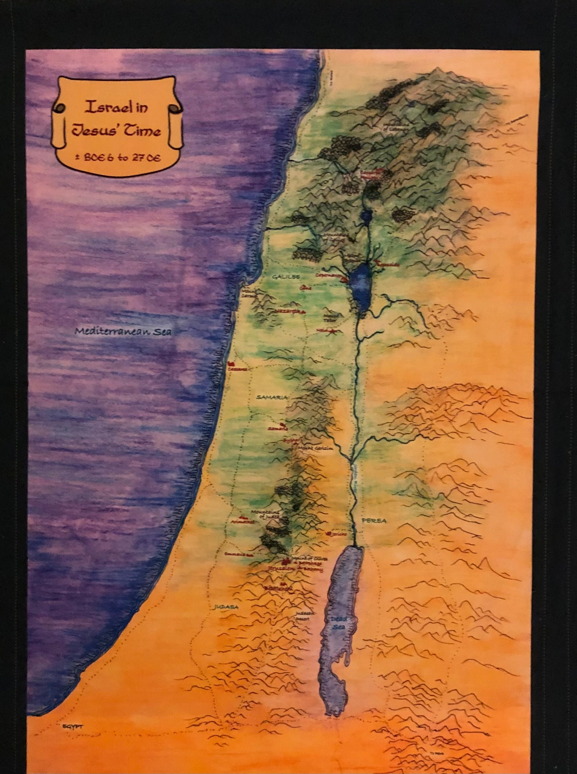
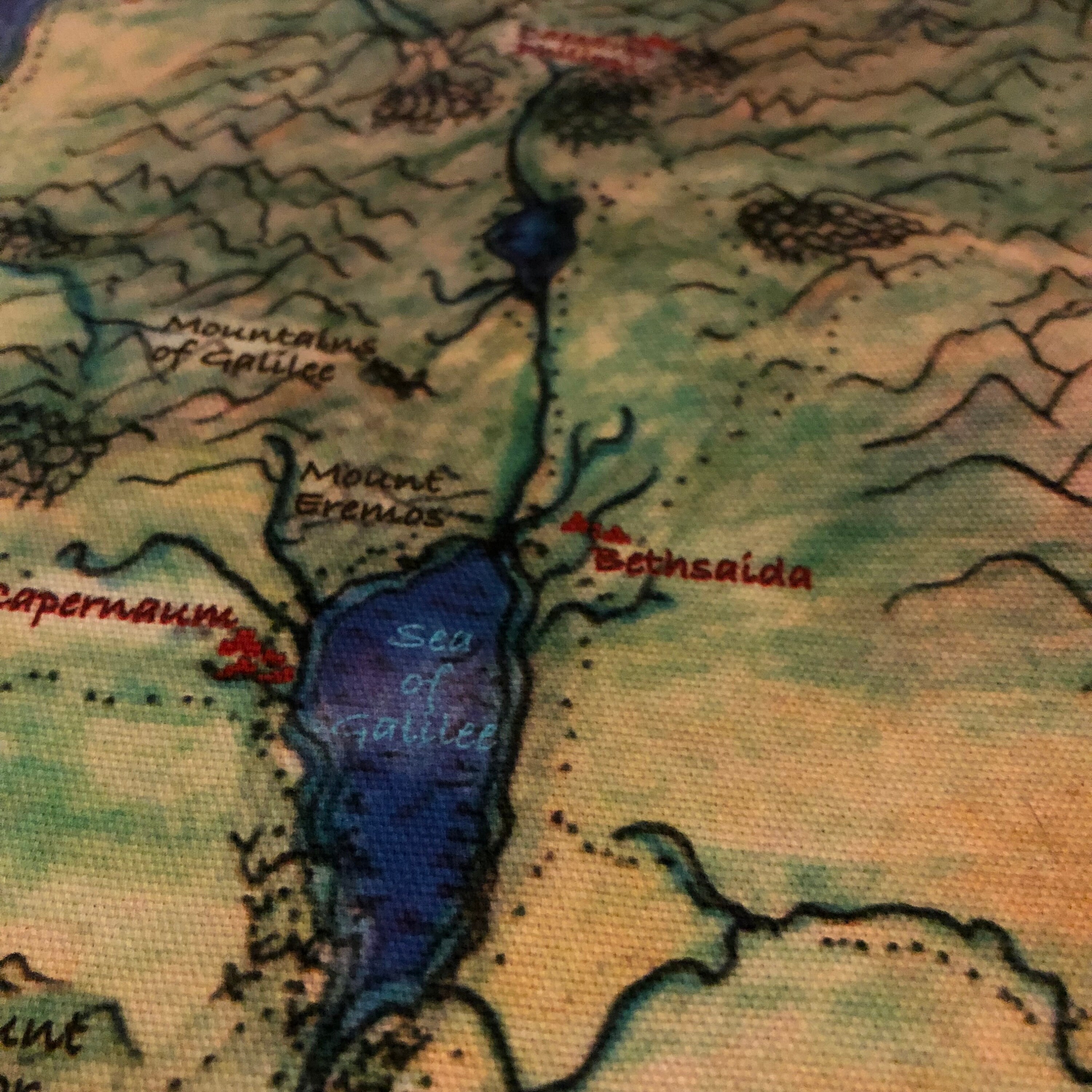
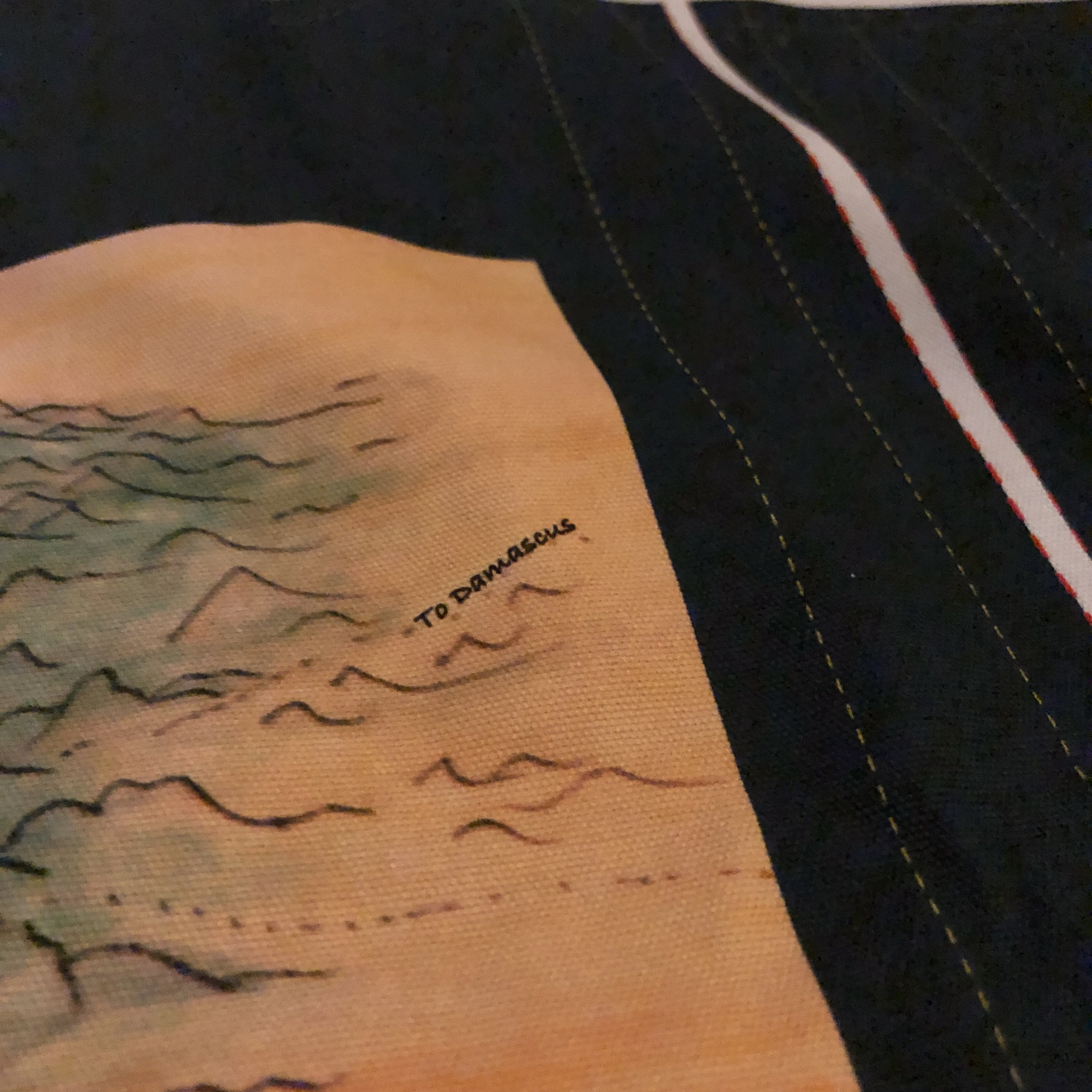
Knowing that Jesus was a real person who lived in a real place and traveled around that place is important for the child's development of faith. This wall chart encourages the child to imagine the distances, terrain, and challenges of travel on food. Young children often have challenges with learning modalities from something on the wall to writing it on their papers. This durable, washable cloth mat is designed to be able to be taken down for the child to better be able to interact with it.
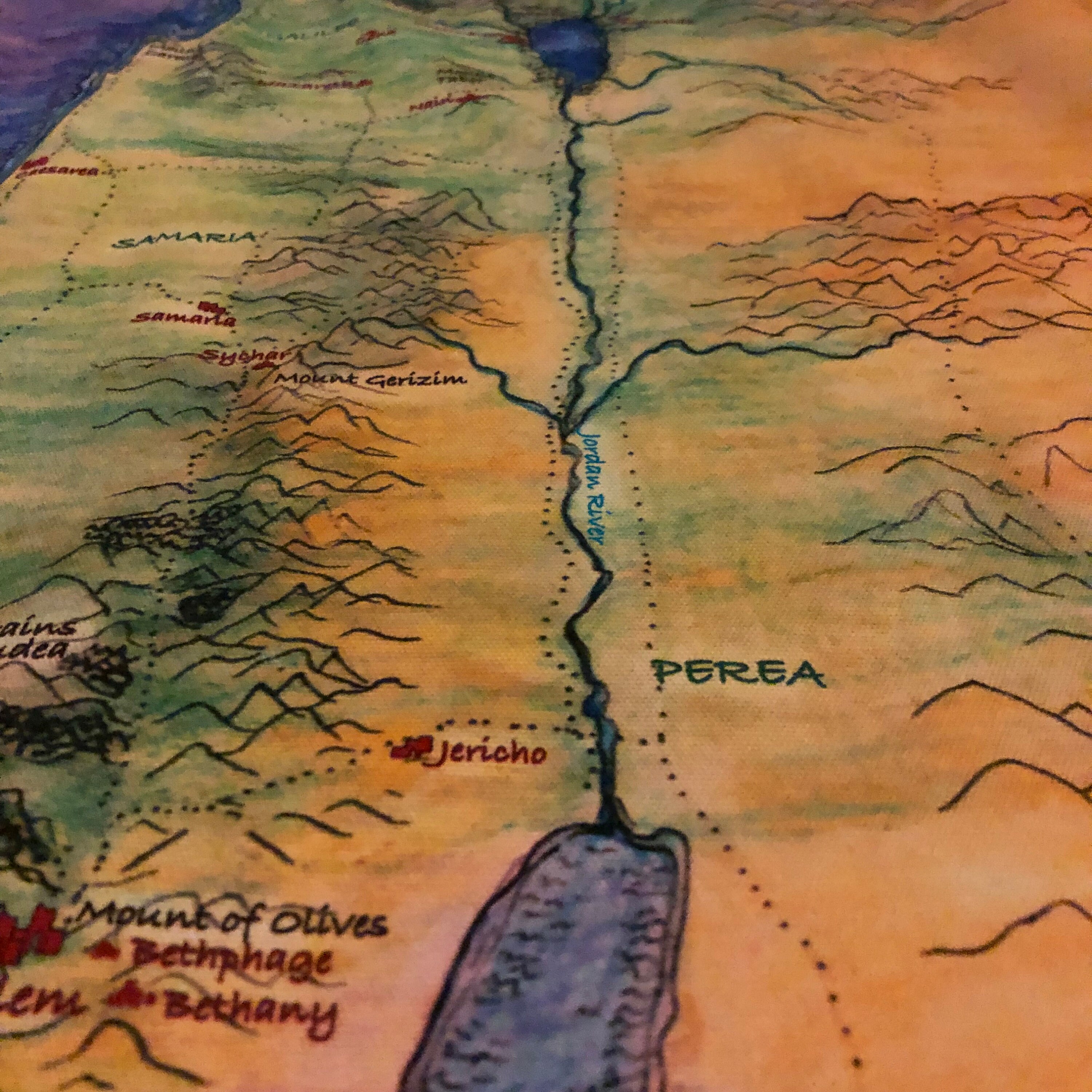
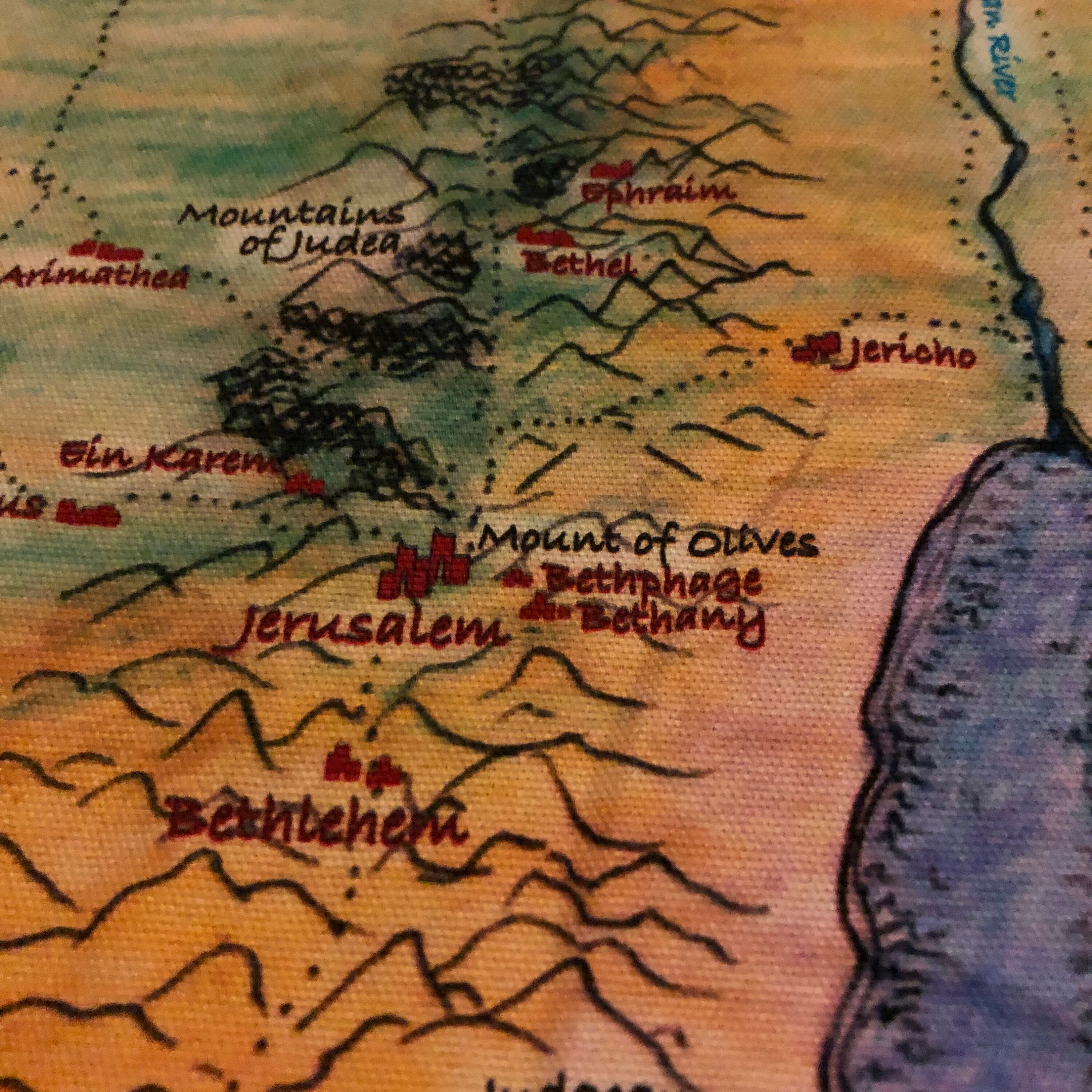
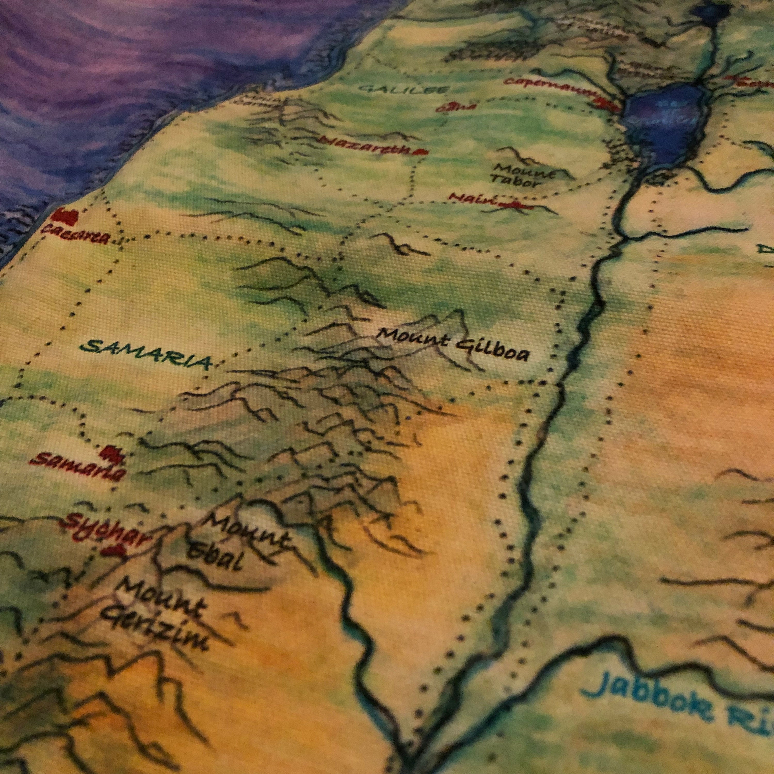
If you would like the larger cloth wall map (25 x 36"). The wall map has the principal cities and regions named along with major roadways appropriate for 6 to 9 year olds and 9 to 12 year olds.
Choose one complexity level and the preferred title for the map (Holy Land or Israel)
The map boundaries may deviate slightly from the CGS materials. However, the material follows the latest, simplified, agreed upon archaeological evidence.
Level 2 Map Option
Biomes with CGS Level 2 cites, regions, and major roads.
Level 3 Map Option
Biomes with CGS Level 3 cites, regions, and major roads.
When you order, choose the level and the title for your map.
Please Note:
These materials are anchored in the extraordinary work of Sophia Cavaletti and Gianna Gobbi. The Inclusive Atrium’s materials are an adaptation of their materials. The artwork and layout of this specific interpretation is the work of the Inclusive Atrium and may not be copied without the express permission of the Inclusive Atrium.
Cloth:
The control mat and the wall hanging are durable heavy weight cotton printed with vegetable-based dye. Directions for hemming and seaming (with a sewing machine or using hemming tape) are included. Dotted lines provide easy guides when cutting and finishing.
Washable heavy-weight cotton. Iron from the reverse.
Wall Map
Height: 36"
Width: 25"
Returns & Exchanges
I don't accept returns, exchanges, or cancellations
But please contact me if you have any problems with your order.
